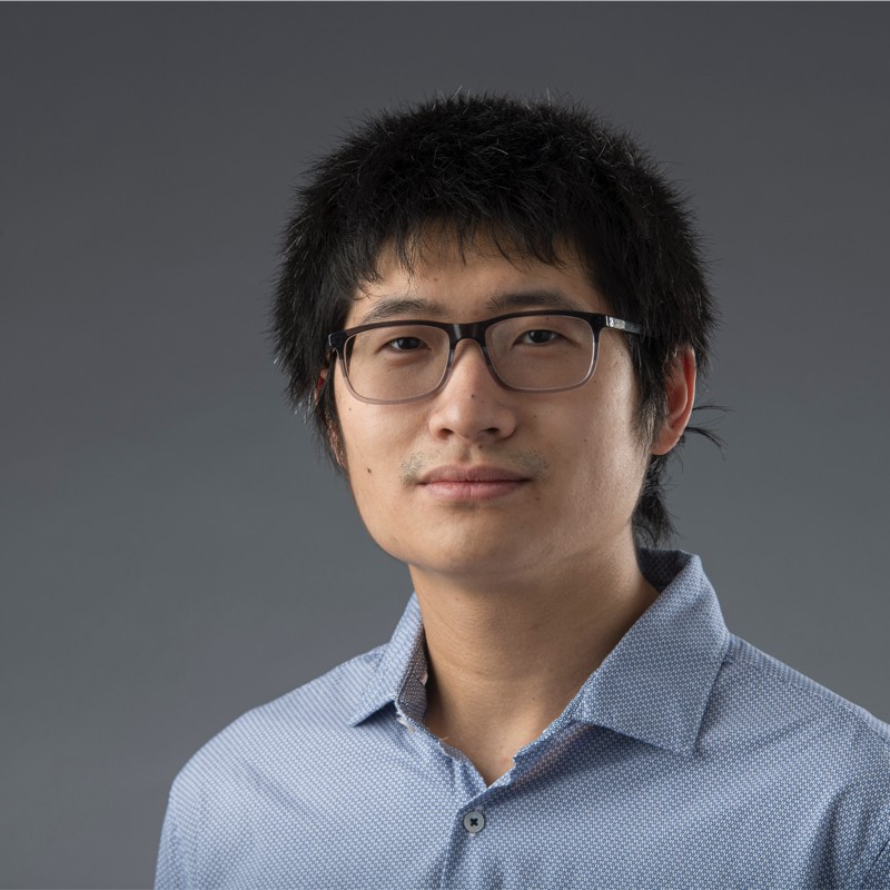

Bo Shang
Robotics & AI Researcher
My research asks how the infrastructure around us — highways, intersections, bridges — can perceive itself. I work across scales, from a single bridge component to a whole city, and the question is the same at each scale: what can be observed, and what does that observation make possible? The throughline is resilient intelligent infrastructure: fixed sensors and embodied robots that together give the built environment a working model of itself.
Since July 2026, I have been a Postdoctoral Associate in Civil and Environmental Engineering and the Maryland Transportation Institute at the University of Maryland, College Park, working under Professor Xianfeng Yang. I support hardware and software development, integration, testing, troubleshooting, data collection, technical documentation, and deliverables for two sponsored transportation research projects. My broader work brings together learning-based perception, ROS-based robotics, edge inference, and inspection workflows developed with public agencies. At UMD I am extending the macro scale to the city: I build and operate CERRA (Civil, Environmental, Road & Resource Analytics), a platform that turns real-world infrastructure data into actionable insight, including an LLM-driven traffic simulation and a quantum-safe evaluation of signal broadcast.
Resume & CV
- Research Scientist Resume · PDF — selected research contributions, projects, publications, and technical skills in robotics and multimodal perception.
- Academic CV · PDF — the full record of appointments, publications, patents, teaching, and academic service.
Research: intelligent infrastructure at three scales
- Macro — highway mobility (InfraLiDAR-Eval). Continuous traffic monitoring with fixed roadside LiDAR: an end-to-end pipeline from raw ingestion to sparse-to-dense registration, evaluated on a 61.9-hour dataset, with a failure analysis showing where current models break under continuous roadside observation.
- Meso — urban intersections (PACO). Cooperative observability: a 120° ADAS sees 0.39 of the intersection scene, a 360° AV 0.63, and roadside LiDAR (V2I) 1.00. Expanding the field of view alone cannot close the gap — the binding constraint is occlusion, not coverage — so infrastructure sensing is mathematically necessary.
- Micro — structural health (embodied robotics). UAVs and climbing robots that assess the physical integrity of structures where people cannot easily go: the BIRDS bridge-inspection flying robot and vision-based concrete defect detection, connecting perception results to engineering use.
The three scales feed one model: fixed sensors contribute macro-level intelligence, embodied robots contribute micro-level agility, and the synthesis is a unified, multi-scale picture of the built environment.
Research notes
- AI Agent Security After 29 Attempts — a source-first postmortem on replay noise, public-leaderboard overfitting, counterbalanced experiments, and the private-guardrail reset.
Selected publications
Selected work in urban freight sensing, roadside LiDAR, vulnerable-road-user safety, and robotic infrastructure inspection.
Drive-by Urban Freight Sensing: Large-Scale Fine-Grained Truck Classification Using Google Street View Imagery and Deep Learning
★ Published September 4, 2026; open access
Roadside LiDAR for Cooperative Safety Auditing at Urban Intersections: Toward Auditable V2X Infrastructure Intelligence
★ DriveX Workshop on Foundation Models for Autonomous Driving; archival proceedings
Robotic Inspection and Data Analytics to Localize and Visualize the Structural Defects of Concrete Infrastructure
★ Journal paper selected for presentation at IEEE IROS 2025
AI-Enhanced Sensing for Vulnerable Road User Safety at Signalized Intersections: A Survey
Citation counts: Google Scholar, 2026-10-14.